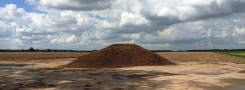
Dikes – Relocated
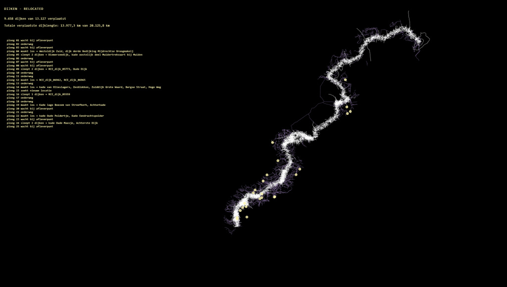
Dikes — Relocated is a generative animation that moves the entire stock of Dutch dikes — hundreds of kilometers of flood defenses — piece by piece to the NulNAP line: the coastline the Netherlands would have if not a single dike had ever been built. The line that I am presently walking.

“Dikes are the backbone of this country. When you move along the NulNAP line, you bump into them every time. They are the hard lines where landscape, people, and technology literally coincide. You are not walking in the Netherlands, but over its scars.”
— Walker / NedeR conversation during a NulNAP walk (Dec. 2025)
Teams of imaginary dike builders pick up dike by dike and rebuild them along the line where NAP reaches zero. It is a thought experiment in motion: what if the acts of makeability that made the Netherlands great — taming water — had to be done again, but now on fairer terms with the water?
The NulNAP Project
My PhD research project “Making Dutch Space – a morphology of the idea of makeability” investigates the concept of makeability: the deeply rooted Dutch idea that all space, all nature, and all water are manageable and rearrangable. This idea is visible in the landscape itself — in every polder, every straightened river, every dike.
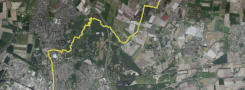
The NulNAP project is the second research area within my doctoral research. At its core is a long walk along the imaginary coastline of the Netherlands: the line that would form the Dutch coast if there were no dikes, dunes, or other water barriers — the contour line where the land lies at sea level (NAP = 0).
That line runs straight through the interior, past cities such as Bergen op Zoom, ‘s-Hertogenbosch, and Gorinchem, thus exposing how much of the Netherlands exists solely thanks to an unceasing act of artificial engineering: keeping the water out.
Dikes — Relocated makes the [un]logic of makeability visible by consistently extending it: if dikes can be built everywhere, why not in the only place where they are ever truly needed?
Investigating makeability
«A large part of our walks is on dikes — coincidence?» — «No coincidence. Dikes are the backbone of this country.»
— Walker / NedeR conversation, Fort De Bilt–Maartensdijk (Dec. 2025)
The animation combines two datasets that normally never come together: the registration of all Dutch dikes (height, length, location) derived from RCE Dijkenkaart, and the NulNAP contour line — a geographical boundary I calculated and that has no official existence. But which can certainly be walked as a hiking route.
The animation logic mimics dike construction: teams systematically, dike by dike, collect and rebuild existing infrastructure along the NulNAP line. The pace is chosen so the viewer can watch along with the work, realize the scale, and let the absurdity of the total relocation sink in.
The visualization aligns with the broader research method of artistic cartography — mapping not what is geographically factual, but what holds true conceptually, historically, or socially. The NulNAP map is not an existing map; it is an argument in visual form.
The animation is designed for presentation via a PC screen or larger screen. It can run autonomously (loop format). It is part of a series of artistic realisations to be presented at the dissertation defense.
| « Polderportret | <-- previous post | next post --> | Dikes Under Pressure » |
|---|