Wieringermeer Polder
I'm trying out a new way to organise info that I collect while walking - map-based and interactive.
Move the mouse over the map, then click on an area that highligts, so as to connect to the stuff I gathered.
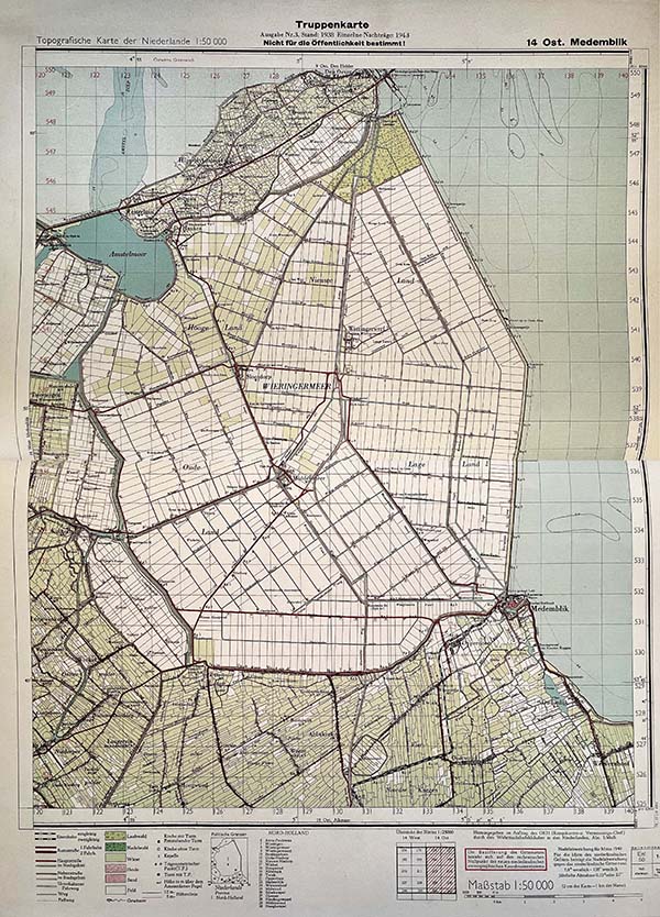
Truppenkarten
Dutch cartographers made the so-called Truppenkarte, which in the Second World War was emphatically "nicht für die öffentlichkeit bestimmt" or "Not for public consumption". The Great Atlas of the Netherlands 1930 – 1950 is now published in full for the first time as a public edition. "The occupier had destroyed most of the copies of the Truppenkarte," says director K. van Diessen of publishing house Atlas Maior in Zierikzee. "Only two complete copies remained: one is kept at the Topographical Service in Emmen that had made the map and the other at the Netherlands Institute for Military History (NIMH)."
http://everdienbreken.org/Notes/truppenkarten/
Wieringen
http://everdienbreken.org/Notes/wieringermeer-2/
Afsluitdijk
The Afsluitdijk is a flood defence in the Netherlands between the provinces of North Holland and Friesland that closes the IJsselmeer from the Wadden Sea. This is where the dam gets its name. The entire dam is 32.5 km long, the water-retaining part of it 30 km. The Afsluitdijk is important to protect part of the Netherlands against flooding.
The Afsluitdijk will be higher and will have a new top layer. Rijkswaterstaat are installing 75,000 state-of-the-art blocks, each weighing around 6.5 thousand kilos. The blocks break the waves when it storms hard. And have been designed in such a way that the appearance of spectacular simplicity on the Afsluitdijk is preserved.
Middenmeer
This is the village named 'Middenmeer' or 'Middle-of-lake'. Misnomer? 'Middle-of-polder' might have been a better idea. Mansholt had his farm near Middenmeer.
From his biography 'Mansholt' page 107 108: The terrible disaster, which had been looming for a long time, has now become a reality. It is terrible what happened to our polder', were the first sentences of a long letter that Mansholt sent to his mother on 30 April 1945. The Germans had blown up the dike. The Wieringermeer was under water. Mansholt's report speaks for itself
http://everdienbreken.org/Notes/johan-van-merrienboer-mansholt-een-biografie/
Let there be lines
I made some crazy software that could have been used to format the Wieringermeer polder:
Water
http://everdienbreken.org/Notes/rene-ten-bos-over-water/
Bump
This is where German bombs blew up the dike in 1945. Not shown on the '42 map is the bump the dike makes here - for the gap was wide and deep and the dike had to go around it.
Walk
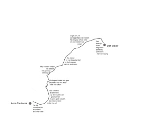
Going from Anna Paulowna to den Oever