Am making a long and slow portrait of Eemland, to go with the long history…

It’s been a while since I last posted – extremely busy with teaching project management courses, for a start. But also started my PhD research, met with the research group for the first time and presented some stuff I’ve done (Compact) Also went walking in Eemland, the first region of the Netherlands that I will be researching for patterns of makeability. Also set up a note-taking site (private) and an Eemland site (public). All under the umbrella of everdienbreken.org and done with lovely WordPress.
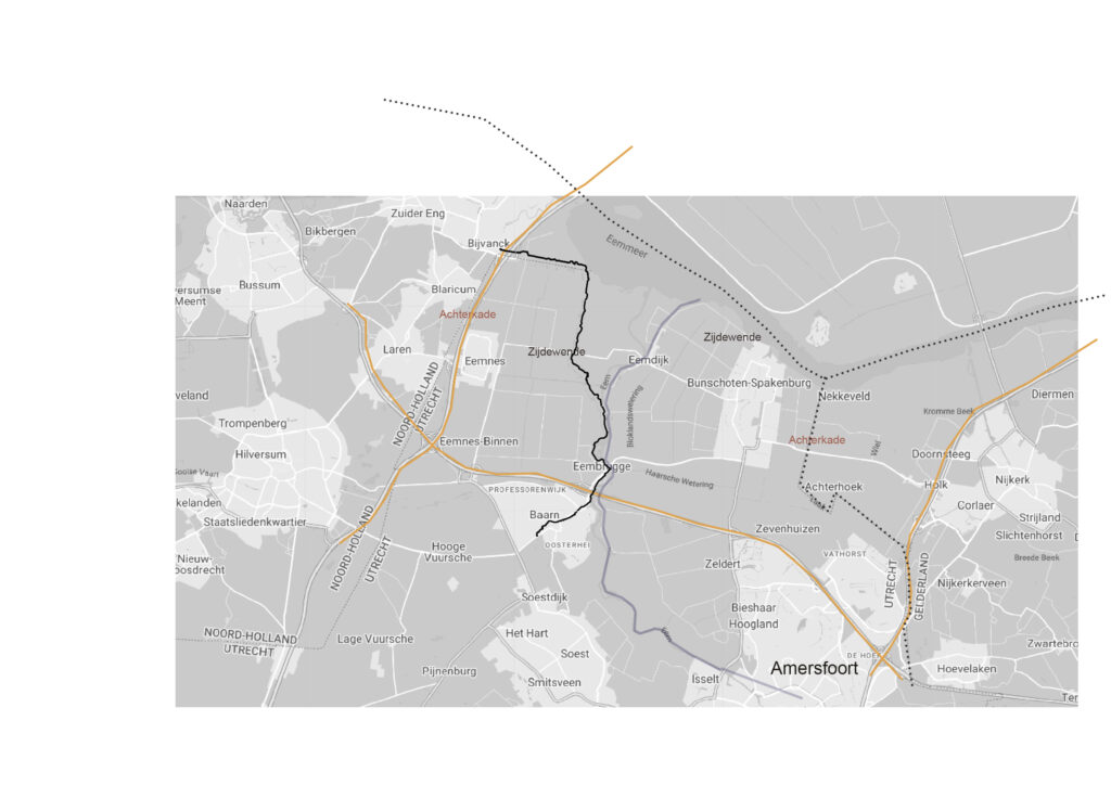
Eemland – between highways A27, A1, A27 and the Randmeren, has a number of very interesting characteristics. To make a small list:
– it is ‘veenweide gebied’ which is typically Dutc
– it was wrestled from the boggy marsh it used to be – starting 1100 AC
– the pattern of land reclamation this resulted in is still very much visible in the parcellation of land ownership and uses today
– used to be bordered by the sea before the Afsluitdijk was built in 1927 – 1932
– used to be flooded on a regular basis, many visible remains of this
– is a polder made up of smaller polders
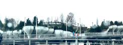
– it is a weird open space in a very condensed Randstad
– it used to be contested between the duke of Gelre and the count of Holland, with the bisshop of Utrecht inbetween
– been ‘Ruilverkaveld’ (land consolidation – reordening of the parcellation) twice over
– the last Ruilverkaveling was one of the first that took nature development seriously next to agriculture
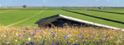
– is a nature reserve ánd a hard-core dairy farming area
– is half Protestant (Bible Belt) and half Catholic
– consists of ‘farmers, fischers and peddlars’
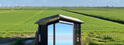
– the 0 NAP cycling path bisects it
and I could go on….
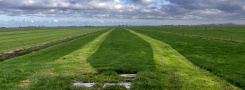
My plan is to walk through the area many many times .. and take it (but what?) from there

| « Updated NL_MIX | <-- previous post | next post --> | Sped on their way » |
|---|